

Hike Details:
Elevation range - about 7200' (lots of little ups and downs but no huge elevation changes)
Location - from Eastbound I-80, take the Boreal Ski/Donner Summit Sno-Park exit, turn left (going opposite of Boreal) and the road dead ends at the Sno-Park (fee is $5 per vehicle, passes need to be bought ahead of time at REI or other Truckee locations). You could also possibly park at the rest area at the next exit which is closer to the junction with the PCT.
Bathrooms: Yes, a pit toilet
Mileage - 4-5 miles roundtrip
Hiking time - 3+ hours (including stop for lunch)
Blue skies, white snow, tall trees, frozen lakes -- winter beauty doesn't get much better than this!

We're ready to go! This was a first time snowshoeing for a few of my friends and they loved it!

We were worried we wouldn't have much snow, but there was plenty!

The first little frozen lake


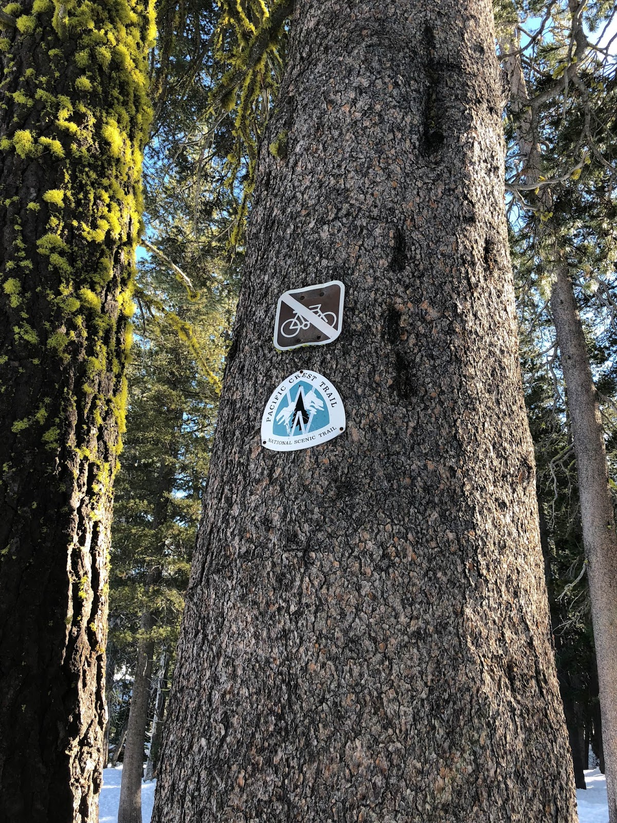
We connected with the Pacific Crest Trail near the Donner Summit rest area and followed tracks heading towards Azalea and Flora Lakes.


Doesn't she look like she belongs in some cool, adventure magazine ad?


Azalea Lake


Flora Lake

Skating on thin ice? Nah, just a few feet from the edge and the ice was thick and solid. We saw tracks all the way across the lake but we're not that daring.


We climbed a little ridge above Flora Lake to see this incredible view of Donner Lake and beyond.


Perfect day, perfect weather! (Now we just need some more snow to last the rest of the winter!)